Visual Capture
Leveraging Digital Technology to Propel Projects
Granger is at the forefront of construction technology, using the latest tools to increase collaboration and communication and maximize efficiency. Our in-house drone pilots and VDC team offer a variety of visual capture services to assist in all phases of the project, from preconstruction through closeout.
Visual Capture Services
360° Capture
Using enterprise visual capture technologies, Granger teams can provide 360° ground and aerial footage captures that align with site drawings to show point-in-time progress during construction or virtual tours of completed spaces.
Drone Capture
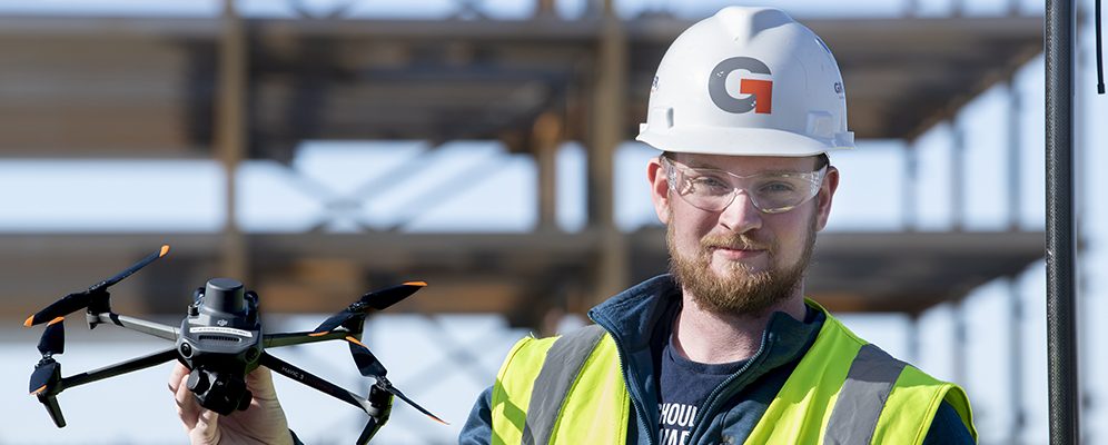
Leveraging innovative drone technology, LiDar scanning and ESRI/GIS technology, Granger’s in-house pilots provide a variety of visual capture services, including site videography and still photography, to map preexisting conditions and document construction project milestones (earthwork, foundations, enclosure, etc.).
3D Reality Modeling
Whether providing as-built data documentation or other deliverables such as stockpile measurements or topography maps, Granger teams can provide 3D site capture and modeling services utilizing photogrammetry technology.
Thermal Inspections
Before starting a renovation project or during commissioning, Granger teams can provide thermal scanning services to conduct building envelope inspections to help determine scope of work requirements or assess envelope integrity.
Scanning Services
There are times on site where a simple tape measurement is not enough. Utilizing our terrestrial X7 LiDAR scanner, Granger can produce virtual 3D models accurate to within a millimeter, which allow us to produce deliverables including: FF/FL Inspections, Floor Inspections, Reality Captures, QA/QC Documentation and As-Built/Pre-Existing Condition Documentation. Our VDC team can also use this data to assist with modeling, AR/VR and Digital Twin initiatives for more sustainable building operations.
News & Insights
Contact Us
Interested in working with Granger Construction? Learn more about our services and how we can help meet your infrastructure needs.
"*" indicates required fields

